
PlatformSectorsCompanyContact
ENFR
Request a briefing

Multi-domain awareness · Built in Canada

Canada is too big to see in pieces.

ORCAN builds Laurentide: one live operating picture that brings aircraft, vessels, wildfire and weather together, so the people responsible for Canada’s remote regions can see sooner and act faster.

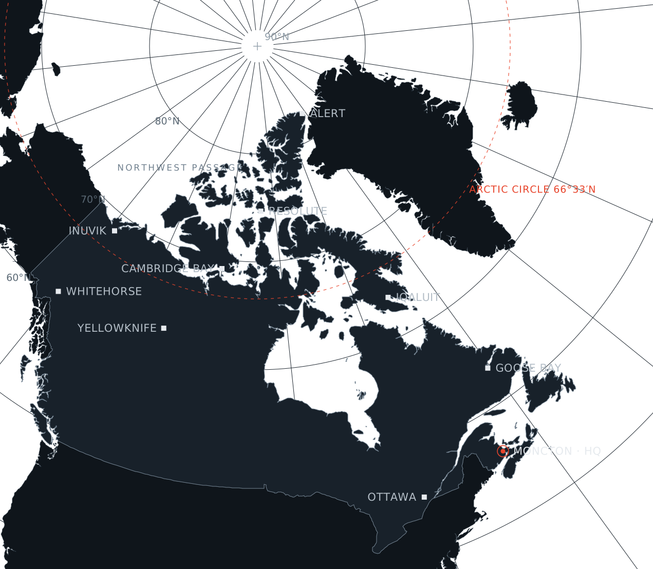
North polar map of Canada showing the Arctic Circle, the Northwest Passage and northern communities including Alert, Resolute, Iqaluit, Inuvik and Yellowknife, with ORCAN’s headquarters in Moncton
Canada from above the Pole · North polar azimuthal projection

The problem is scale

9,984,670 km²

The second-largest country on Earth.

243,042 km

The longest coastline of any country.

39%

Of Canada’s land lies in its three northern territories.

Sources: Statistics Canada; Natural Resources Canada.

One operating picture.

Today the information that matters in the North lives in separate places: flight tracking in one tab, fire maps in another, weather somewhere else, vessel data with a different agency, and the mission itself on a whiteboard and a phone.

Laurentide puts it on one live screen, watches it continuously, and tells you what is changing before it becomes a problem.

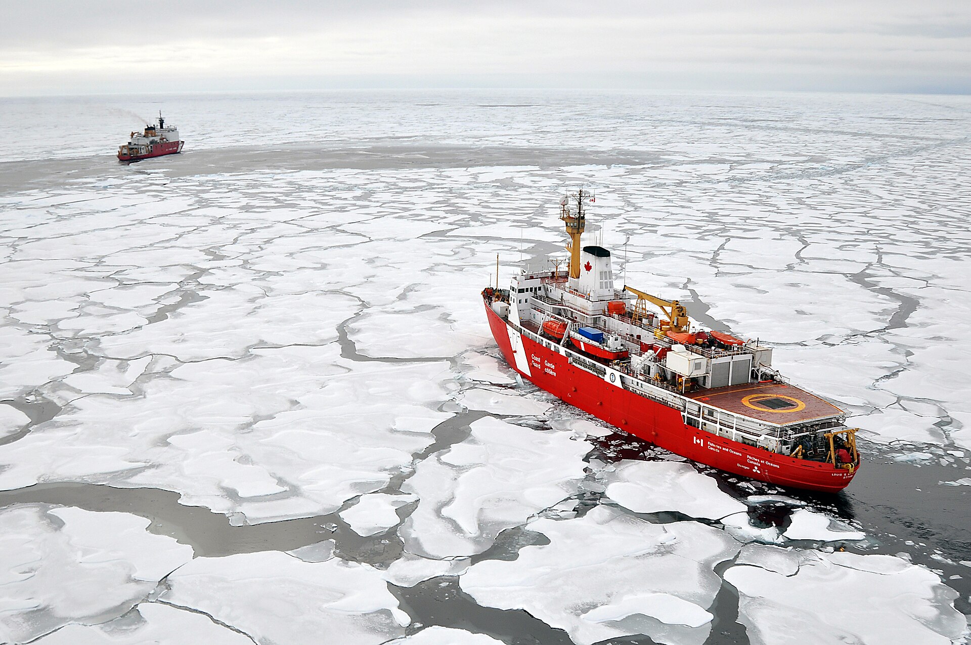
A red-and-white Canadian Coast Guard icebreaker pushing through white Arctic pack ice under a grey sky
CCGS Louis S. St-Laurent in Arctic pack ice, 2009Image: Patrick Kelley, U.S. Coast Guard · Public domain · Source

The platform

One core. Modules for every domain.

See how it works
L-3000 · Core platformIn development

Laurentide

The foundation everything runs on. One live map of Canada that fuses the feeds an operation depends on, with alerts that fire when something needs a human decision.

  1. Air, sea, wildfire and weather on one map
  2. Rule-based alerts, with predictive warnings on the roadmap
  3. English and French on every screen
  4. Role-based access, two-factor sign-in and a full audit trail
  5. Designed to be hosted in Canada
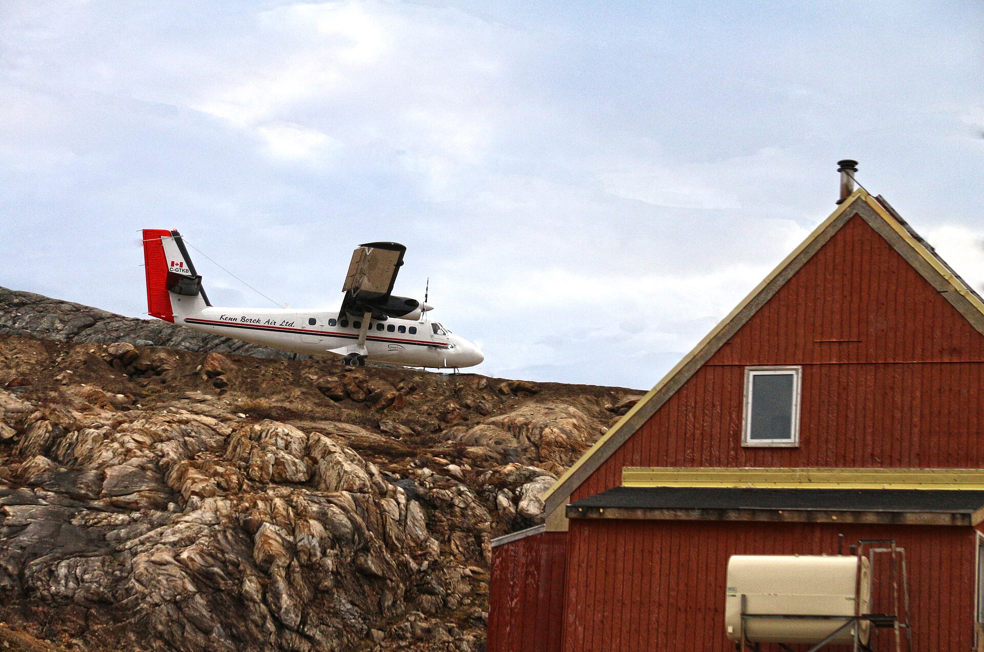
A twin-engine Twin Otter aircraft on short final to a gravel runway in Kimmirut, Nunavut
A-105 · Air moduleIn development

Arrow 105

For medevac, evacuation and remote air operators. Aircraft, missions, airstrips and fuel in one view, with warnings when fire or weather moves toward a route.

About Arrow 105
  • Aircraft
  • Missions
  • Airstrips & fuel
  • Fire proximity
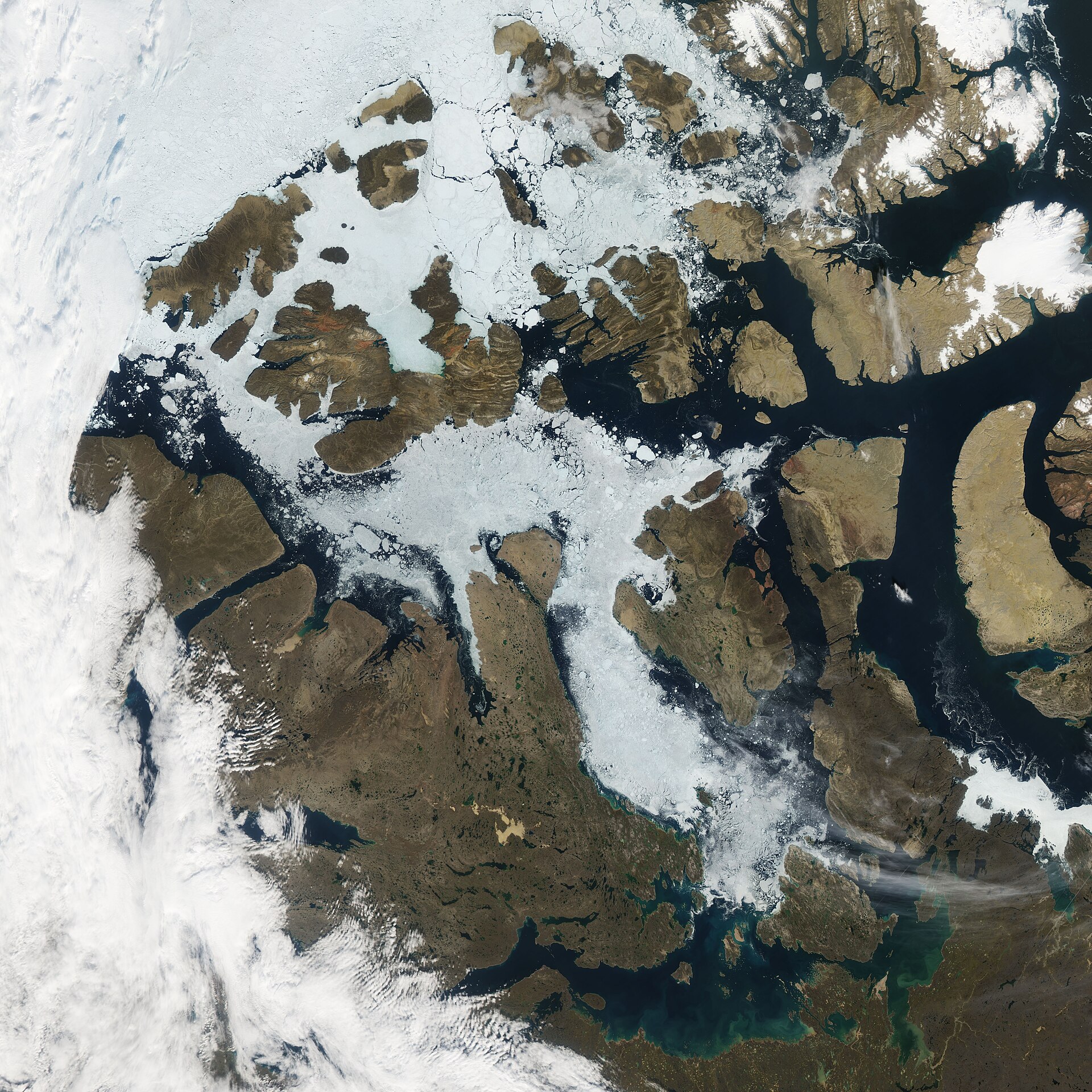
Satellite image of the Canadian Arctic Archipelago with open water through the Northwest Passage
N-74 · Sea modulePreview

Passage N74

Maritime awareness for Canada’s northern waters, named for the latitude of the Northwest Passage. Vessel movements and Arctic routes on the same picture as everything else.

About Passage N74
  • Vessel tracks
  • Arctic routes
  • Maritime alerts

Who it’s for

Built for the people
who cover the distance.

All sectors

How we build

Sovereign by design

Canadian-owned and built to keep customer data in Canada.

Made for the North

Extreme cold, thin connectivity and long distances are the design brief, not edge cases.

Bilingual from line one

Every screen, alert and export in English and French.

Works with what you have

Connects to the feeds and systems you already rely on, instead of replacing them.

Now selecting first pilot partners.

If you run operations in Canada’s remote regions, we want to build Laurentide with you. Briefings are available in English and French.