

Sectors
Where distance is the problem.
Laurentide is built for organizations that operate across Canada’s largest, coldest and least-connected regions, from a single mine site to the defence of the Arctic.
01
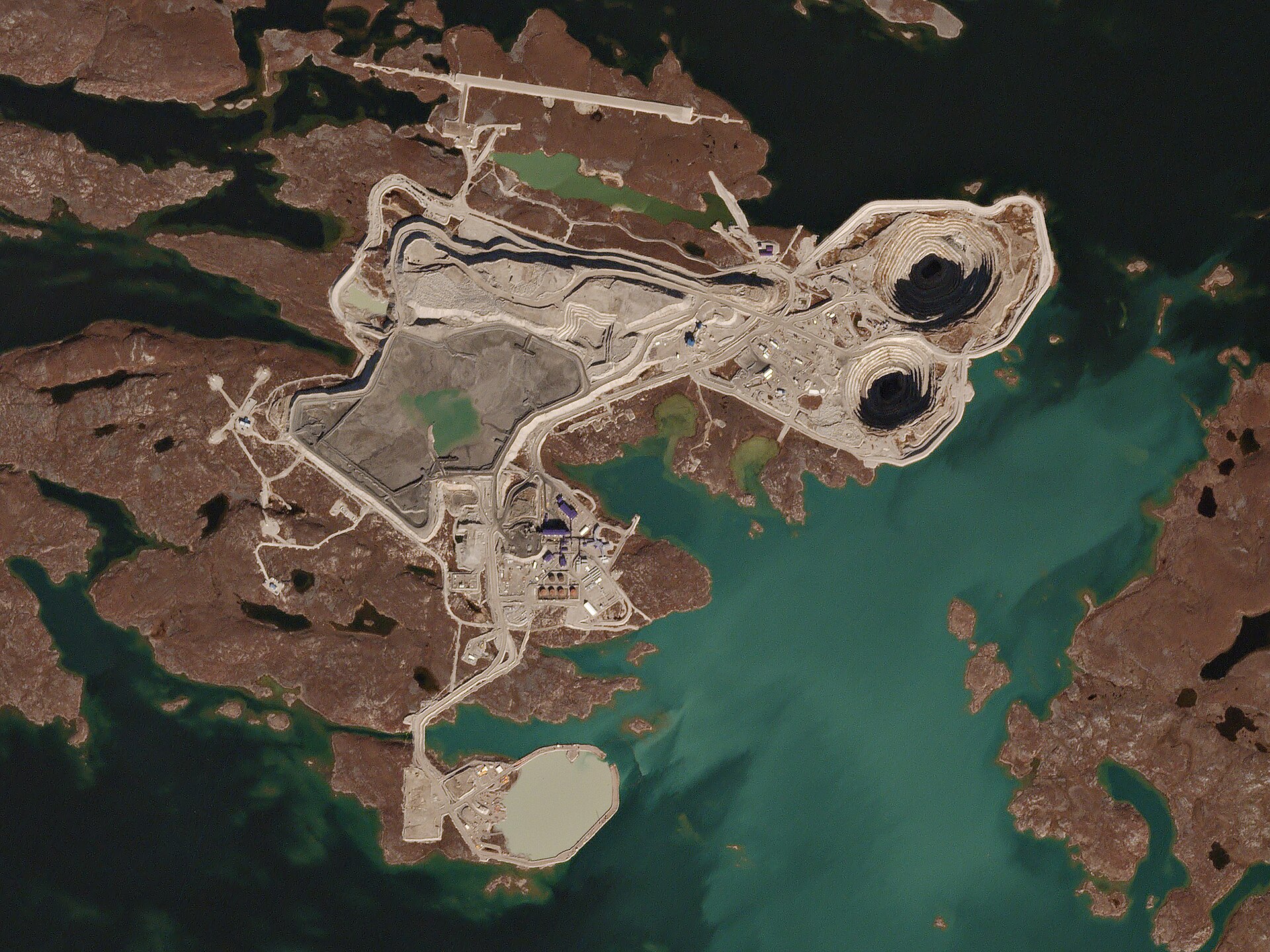
Remote operations
Northern mines, energy projects and utilities
Northern sites run on aircraft, winter roads and tight weather windows. When a wildfire, a storm or a medical emergency hits, the information needed to respond is spread across contractors, agencies and phone calls.
Laurentide gives your operations team one picture of every flight, airstrip and hazard around your site, with alerts tuned to your operation.
02
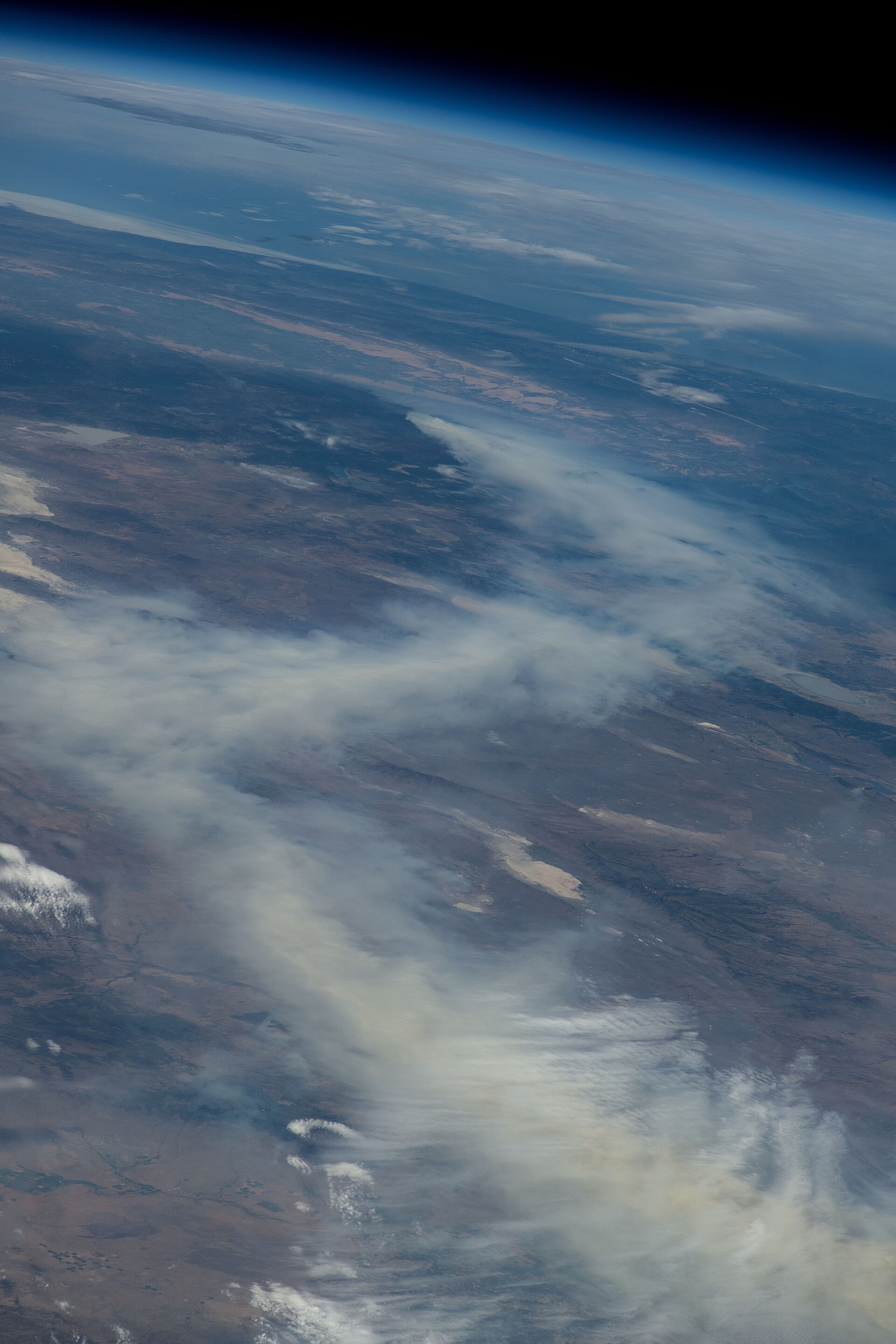
Public safety & government
Emergency management, wildfire services and health transport
Wildfire seasons are getting longer and evacuations larger. Emergency managers, wildfire services and medical transport need to see the same thing at the same time, across jurisdictions and in both official languages.
Laurentide puts fire, weather, airstrips, aircraft and evacuation missions on one shared picture, so every agency in the room works from the same facts.
03
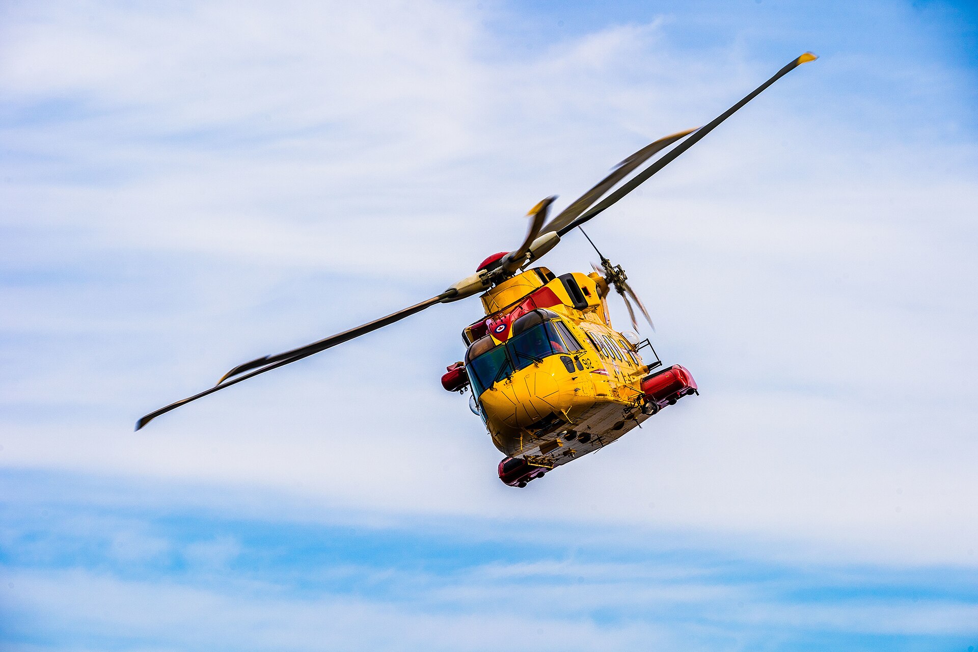
National security
Coast Guard, search and rescue, maritime security
Search and rescue and maritime security depend on knowing what is moving across an enormous area, and noticing quickly when something stops behaving as expected.
Laurentide gives coordinators a shared air and maritime picture, with alerts on aircraft and vessels that stop reporting or linger where they shouldn’t.

04
Defence & allies
Canadian Armed Forces, defence research and allied partners
Arctic sovereignty, continental defence and allied commitments all start with awareness of what is happening across Canada’s territory, air and waters.
ORCAN is building toward the security, interoperability and data-handling standards that defence and allied partners require, as a Canadian company with Canadian-controlled technology.
Tell us about your operation.
Every region and mission is different. We’ll listen first, then show you how Laurentide could fit, in English or French.