

Platform · L-3000
Laurentide
A sovereign, bilingual operating picture for Canada. Laurentide fuses live data from the air, the sea, the land and the sky, watches it for you, and raises the alerts that need a human decision.
How it works
From scattered feeds
to one decision.
What comes in
- Aircraft positionsAir
- Vessel tracksSea
- Wildfire hotspots & perimetersFire
- Radar & weather warningsWeather
- Airstrips, fuel & communitiesGround
What Laurentide does
What goes out
- Live map for dispatch & operations centres
- Alerts with a clear reason
- Missions & timelines
- PDF map briefs & GeoJSON
Capabilities
Built for the operations room.
Live operating picture
A self-hosted map of Canada with layers for aircraft, vessels, fires, radar, warnings, airstrips and communities. Dark and light themes for night shifts and daylight.
Alerts that explain themselves
Every alert says what happened, where, and why it matters. Acknowledge, resolve and tune thresholds for your operation.
Missions
Plan medevac and evacuation missions, assign aircraft and follow the timeline. Passenger manifests are encrypted and every view is logged.
Data you can trust
Every layer shows how fresh it is. When a feed goes stale, Laurentide says so instead of showing old data as new.
Briefs in one click
Export the current map to PDF for a briefing, or the visible layers to GeoJSON for other systems.
Replay and exercise
Replay a recorded or simulated event at any speed for training, exercises and after-action reviews. Simulations are always clearly labelled.
Alert engine
It watches,
so you can decide.
Laurentide launches with six rules drawn from real air and maritime operations. Each one has thresholds your administrator can adjust, and every alert carries its severity in words, shape and colour, never colour alone.
A mission aircraft enters a wildfire advisory zoneSeverity rises when the aircraft is flying low.
WarningA weather warning covers a destination or alternate airstripUses official Environment and Climate Change Canada warnings.
WarningA mission aircraft stops reporting its positionWarning first, then critical if the silence continues.
CriticalA wildfire approaches an airstrip or a watched communityWarning within 20 km, critical within 5 km, by default.
CriticalA vessel goes dark inside a watch zoneIt was reporting regularly, then stopped.
AdvisoryA vessel loiters inside a watch zoneUnder 2 knots for more than 3 hours, by default.
Advisory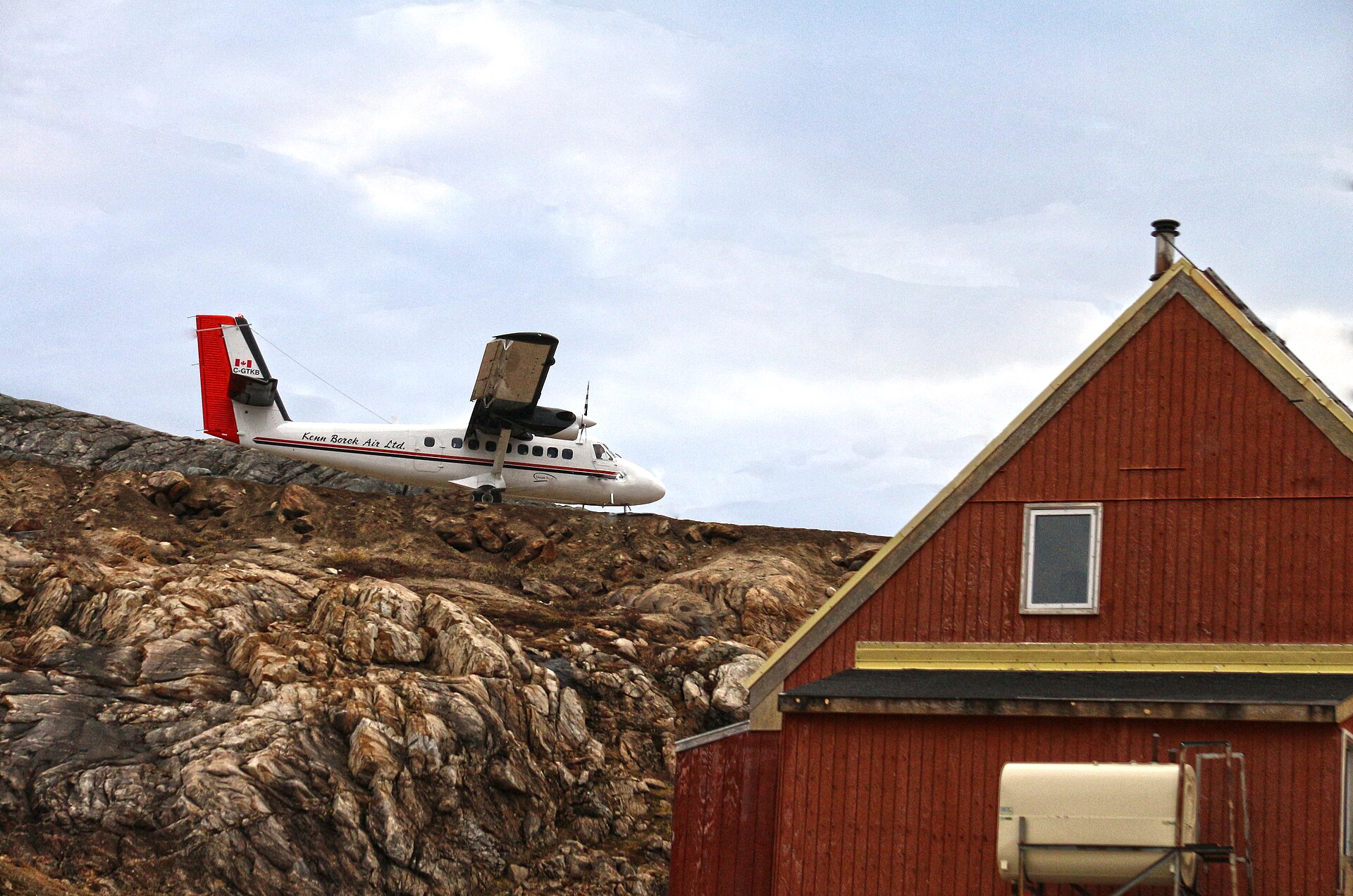
Arrow 105
For the operators who fly where roads don’t go: air ambulance services, evacuation coordinators and remote charter operators. Arrow 105 keeps every aircraft, mission, airstrip and fuel cache in one view, and warns dispatch when fire, smoke or weather moves toward a route.
- Live aircraft positions, with licensed feeds ready to plug in
- Missions with encrypted passenger manifests
- Canadian aerodromes with fuel status updated by your team
- Fire, smoke and weather proximity alerts
Passage N74
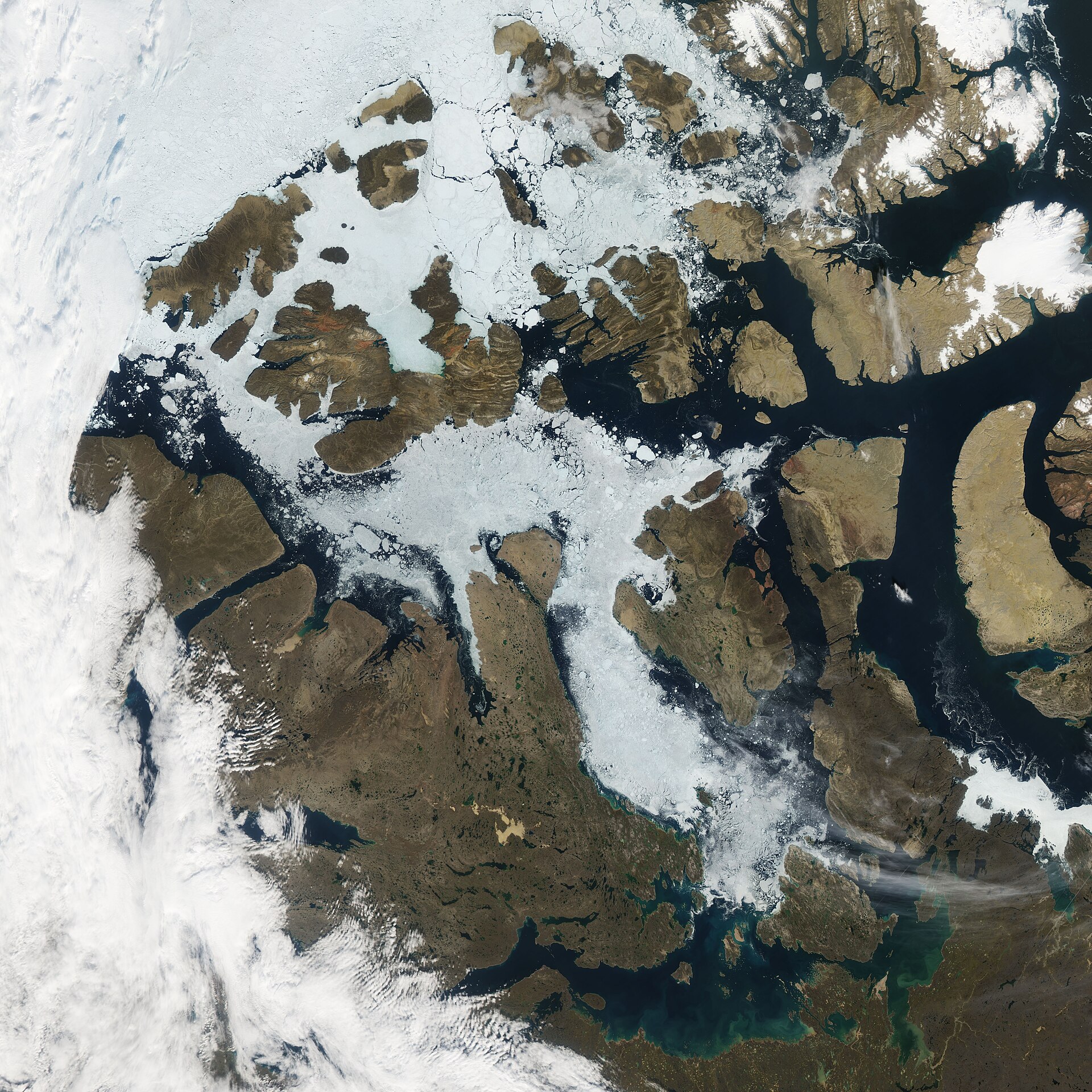
Named for the latitude of the Northwest Passage. As Arctic ice retreats, more ships move through Canadian waters with fewer eyes on them. Passage N74 brings vessel movements into the same picture as aircraft, fire and weather, and flags the behaviour that deserves a second look.
- Vessel tracks on the common operating picture
- Watch zones you draw and control
- Dark-vessel and loitering alerts
- Live AIS feeds on the roadmap
Data
Built on authoritative sources.
Laurentide starts with trusted public data from Canadian and international agencies. Licensed commercial feeds for aircraft and vessels connect through the same connector framework, so new sources plug in without changing how your team works.
Security & sovereignty
Secure by default.
Canadian by design.
Laurentide handles sensitive operational data, including medical evacuation manifests. Security is part of the foundation, not an add-on.
- Two-factor sign-in for every userRole-based access for viewers, dispatchers and administrators.
- Each customer isolated at the database levelOne organization can never see another’s missions, alerts or records.
- Encrypted manifestsAES-256 encryption with per-customer keys. Every view is logged.
- Tamper-evident audit logA hash-chained record of every action that administrators can verify.
- Hosted in CanadaDesigned for deployment in Canadian cloud regions only.
- A path to government standardsSOC 2, CPCSC and Protected B readiness are on our roadmap.
See Laurentide on your own operation.
We’ll walk you through a live scenario built around your region, in English or French, and show where Laurentide fits with the tools you already use.